Sample datasets
This section presents information about two sample datasets used in this documentation.
The first dataset Prague was developed for specific needs of this Gisquick publishing platform. Subsequently, the second dataset Natural earth was originally created by the developers of GIS.lab and was later adopted by the Gisquick project.
Prague
Database prague.sqlite. Downloadable as a zip file.
Data source
The data are sourced from open data IPR provided by Prague Institute of Planning and Development, open data RÚIAN supplied by the Registry of Territorial Identification, Addresses and Real Estate, data DIBAVOD provided by T. G. Masaryk water research institute, public research institution and from a great resource for free and openly licensed data, OpenStreetMap (OSM). Some statistics data are from Czech statistical office.
Coordinate systems (Reference system)
All data in Prague dataset use reference system S-JTSK Krovak East North (EPSG:5514).
Format and other key features
Vector data come in Esri Shapefile format. Character encoding is Windows-1252. Raster data come in TIFF format.
Extent:
50.3 (N), 49.9 (S), 14.8 (E), 14.2 (W)
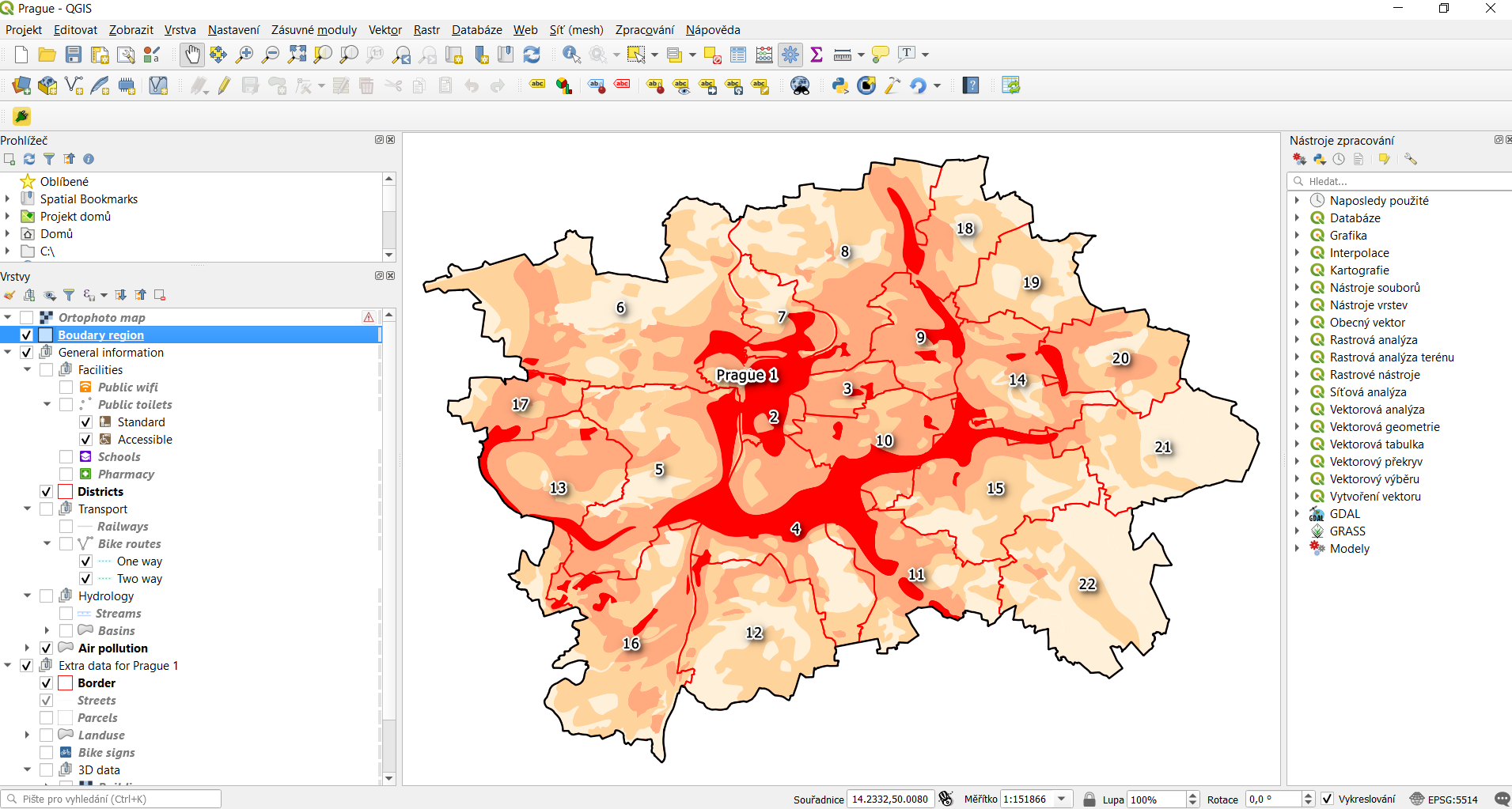
Thematic layers
Administrative districts - administrative boundaries in Prague.
Layer name:
districtsStorage type: SQLite database
Geometry type: Polygon
Attributes:
Name |
Description |
|---|---|
code |
code of district |
name |
name of district |
Air pollution - bonita of climate in terms of air pollution (I - the best, V - the worse).
Layer name:
air_pollutionStorage type: SQLite database
Last update: 01.01.2008
Geometry type: Polygon
Attributes:
Name |
Description |
|---|---|
value |
bonita of climate in terms of air pollution |
Basins - hydrological structure, basins of IV. code.
Layer name:
basinsStorage type: SQLite database
Last update: 06.04.2006
Geometry type: Polygon
Attributes:
Name |
Description |
|---|---|
number |
number of basin |
area |
area in square kilometer |
Bike routes - cycling routes marked, registered and others.
Layer name:
bike_routesStorage type: SQLite database
Last update: 14.03.2016
Geometry type: Polyline
Spatial resolution: 1:10000
Attributes:
Name |
Description |
|---|---|
number |
number of route |
state |
traffic state |
one_way |
D means one-way route |
Bike signs - bicycle transport signs for Prague 1 district.
Layer name:
bike_signsStorage type: SQLite database
Last update: 14.03.2016
Geometry type: Point
Spatial resolution: 1:10000
Attributes:
Name |
Description |
|---|---|
type |
type of sign |
Boundary region - boundary of Prague region.
Layer name:
boundary_regionStorage type: SQLite database
Last update: 04.05.2014
Geometry type: Polygon
Attributes:
Name |
Description |
|---|---|
name |
name of region |
Buildings - classified 3D raster with absolute altitude of buildings.
Layer name:
buildingsStorage type: SQLite database
Spatial representation: 3D grid
Elevation - digital terrain model (DTM) within the meaning of the bare surface.
Layer name:
elevationStorage type: SQLite database
Last update: 10.04.2015
Spatial representation: 3D grid
Spatial resolution: 1:5000
Landuse - landuse in 2016.
Layer name:
landuseStorage type: SQLite database
Last update: 24.02.2016
Spatial resolution: 1:5000
Geometry type: Polygon
Attributes:
Name |
Description |
|---|---|
code |
code of usage |
Orthophoto - colored orthophoto of Prague 1 district.
Layer name:
orthophotoPixel resolution:
50 cmStorage type: SQLite database
Last update: 10.12.2015
Spatial representation: grid
Parcels - polygons of the parcels for Prague 1 district.
Layer name:
parcelsStorage type: SQLite database
Last update: 01.03.2016
Geometry type: Polygon
Spatial resolution: 1:500
Attributes:
Name |
Description |
|---|---|
p_number |
permanent parcel number |
f_number |
fractional parcel number |
area |
area in square meters |
Pharmacy - pharmacies.
Layer name:
pharmacyGeometry type: Point
Attributes:
Name |
Description |
|---|---|
name |
name of pharmacy |
Population statistics - marriages, divorces, live births and deaths statistics for Prague districts in 2014.
Layer name:
pop_statisticsData representation: comma separated values file
Last update: 31.12.2014
Attributes:
Name |
Description |
|---|---|
district |
name of district |
marriages |
marriages in 2014 |
divorces |
divorces in 2014 |
live births |
live births |
deaths |
deaths |
Prague 1 - boundary of Prague 1 district.
Layer name:
prague_1Storage type: SQLite database
Geometry type: Polygon
Attributes:
Name |
Description |
|---|---|
code |
code of district |
name |
name of district |
Public toilets - public toilets.
Layer name:
public_toiletsStorage type: SQLite database
Last update: 20.07.2015
Geometry type: Point
Attributes:
Name |
Description |
|---|---|
locality |
the position or site of public toilet |
address |
address of public toilet |
open |
open hours |
price |
price for usage |
invalid |
1 for invalid toilet |
Public wifi - WiFi facilities allowing to connect to the Internet within a particular area.
Layer name:
public_wifiGeometry type: Point
Attributes:
Name |
Description |
|---|---|
wifi |
more details about WiFi |
Railways - railway lines.
Layer name:
railwaysGeometry type: Polyline
Attributes:
Name |
Description |
|---|---|
osm_id |
OSM id |
Schools - school buildings.
Layer name:
schoolsGeometry type: Point
Attributes:
Name |
Description |
|---|---|
name |
name and type of school |
Streams - water flow, flow model.
Layer name:
streamsStorage type: SQLite database
Last update: 06.04.2006
Geometry type: Polyline
Attributes:
Name |
Description |
|---|---|
name |
name of stream |
Streets - roads and streets in Prague 1 district.
Layer name:
streetsGeometry type : Polyline
Storage type: SQLite database
Attributes:
Name |
Description |
|---|---|
name |
name of street |
Universities - university buildings.
Layer name:
universitiesSpatial representation: vector
Geometry type: Point
Attributes:
Name |
Description |
|---|---|
name |
name of university |
Zip codes - address points from RUIAN.
Layer name:
zipcodesStorage type: SQLite database
Attributes:
Name |
Description |
|---|---|
number |
number of building |
code |
zip code |
Natural earth
Database natural-earth.sqlite. Available online from GitHub
repository
or directly as a zip file.
Data source
The data are sourced from Natural Earth dataset. It is a public domain
map dataset available at 1:10 million, 1:50 million and
1:110 million map scales. It is free for use in any type of
project. Dataset was built through a collaboration of many
volunteers, it is supported by NACIS - North American Cartographic
Information Society and contains a series of vector and raster
data. With Natural Earth one can make a variety of maps with all
commonly-used cartography and GIS software.
Coordinate systems
All Natural Earth data use the Geographic coordinate system WGS84 (EPSG:4326).
Format and other key features
Natural Earth Vector comes in Esri Shapefile format. Character encoding is Windows-1252. Vector features include name attributes and bounding box extent. Natural Earth Raster comes in TIFF format with a TFW world file.
Natural Earth is a very useful collection of data. Most of their attributes are equally important for map-making. They contain embedded feature names, which are ranked by relative importance. Other attributes facilitate faster map production, such as width attributes assigned to river segments for creating tapers, etc.
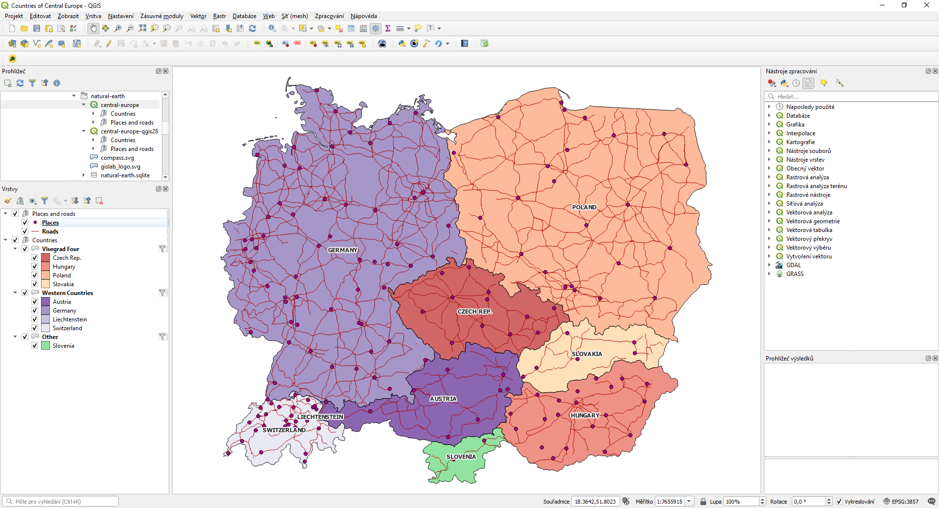
Thematic layers
Area - matched boundary polygon for the area of interest (administrative areas).
Layer name:
areaStorage type: SQLite database
Geometry type: Polygon
Countries - matched boundary lines and polygons with various attributes for countries.
Layer name:
countriesStorage type: SQLite database
Geometry type: Polygon
Attributes:
Name |
Description |
|---|---|
adm0_a3 |
country code |
name |
estimated total population |
gdp_md_est |
estimated total GDP in millions of dollars |
subregion |
part of a larger region or continent |
Places - point symbols with name attributes. Includes DEM data, population data and other information (urban landscape).
Layer name:
placesStorage type: SQLite database
Geometry type: Point
Attributes:
Name |
Description |
|---|---|
name |
name of entity |
adm0name |
country name |
adm0_a3 |
country code |
adm1name |
sub-country name |
lattitude |
latitude of the interior point (degrees) |
longitude |
longitude of the interior point (degrees) |
pop_max |
population for the metropolitan area |
pop_min |
population for the incorporated city |
gtopo30 |
DEM with 30-arc second resolution |
timezone |
timezone |
Roads - road lines with attributes.
Layer name:
roadsStorage type: SQLite database
Geometry type: Polyline
Attributes:
Name |
Description |
|---|---|
type |
type of road |
length_km |
road length (km) |
label |
label |
local |
local label |
expressway |
1 for expressway, 0 for other |